Mapping the Neighbourhoods
Image
Description
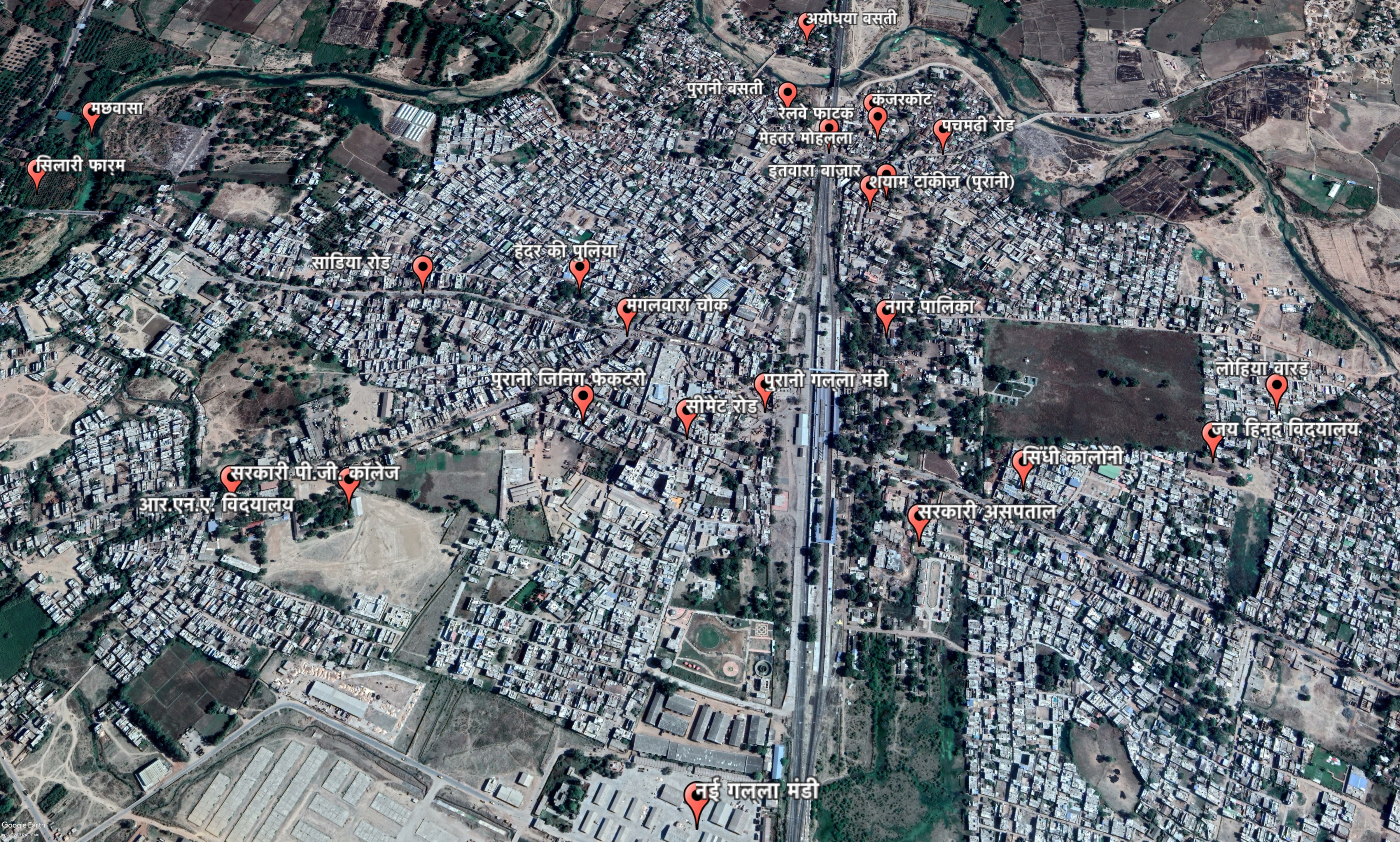
A Google map representation of the town of Pipariya situated in Madhya Pradesh, India. The map is marked with 25 local neighbourhoods (names in Hindi script Devnagri) that were an often-recurring reference point in the oral narratives recorded with the residents of the town. Highlighting the politics of everyday spaces, the map can be considered a visual marker of a settlement where some places are more or less relevant than others.
Credits / copyrights
Image Copyrights: This map is a part of an upcoming publication on the settlement histories of the town of Pipariya.
Affiliation
Centre for Community Knowledge, Ambedkar University Delhi
Medium
Image contains
(Partial) Date
2019
Location
Pipariya
Madhya Pradesh
India
Map
Site of knowledge & meaning